USD87.45EUR98.34RUB1.04
24.kg

Interactive map with sights of Issyk-Kul region launched

Anastasia BENGARD
10:29, 28 June 2017, Bishkek - 24.kg news agency

The international information service 2GIS launched an interactive map with sights of Issyk-Kul region. Press service of the Ministry of Culture, Information and Tourism reported.

The list of attractions includes gorges, waterfalls, lakes, passes, museums, architectural monuments, sacred places and other places along the shore of the lake and other areas of the region.

2GIS system will guide the holidaymakers in Issyk-Kul and help to build a route. And those who are interested in history will benefit from information on the most interesting places," Irina Makogon, manager of 2GIS-Issyk-Kul project told.
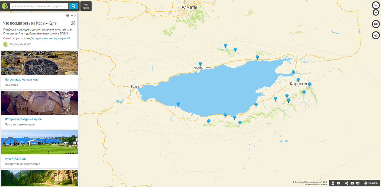
In total, the list includes 84 sights. The most popular of them are combined into one collection of places that are obligatory for visiting — Karakol, Semenovskoye, Grigorievskoe, Jeti-Oguz gorges, Skazka canyon, Dead Lake, Tamga-Tash stones, museums and architectural monuments.

2GIS is an international information service that has been publishing the guides and maps of cities since 1999. The head office of the company is located in Russia, Novosibirsk. The company began its work in Bishkek in 2015.

CONTACTS

SOCIAL MEDIA

TelegramYouTubeWhatsAppFacebookInstagram

© News Agency «24.kg» - News of Kyrgyzstan. All rights reserved. All information posted on this website is intended for personal use only and may not be distributed without the written permission of NA «24.kg». The editorial team is not responsible for the content of reprinted materials and statements of individuals. +18